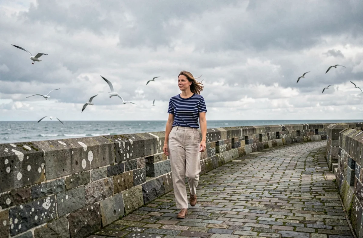
Ramparts, forts accessible at low tide, the Rance tidal power plant: Saint-Malo packs a wealth of heritage and visitor-access constraints into just a few square kilometres—details that few guides cover. Reaching Grand Bé or Fort National is about more than simply waiting for low tide.
Access times change every day, and you need to leave a safety margin for the return journey to avoid being stranded for several hours. This factor shapes every coastal itinerary in the corsair city and its surroundings.
Access to Saint-Malo’s islets: changing time slots to check each day
Most travel guides describe Grand Bé and Fort National as low-tide walks. This oversimplifies a more restrictive reality.
Access times for the islets change daily depending on the tidal range. A crossing that is passable at 10 a.m. on a Monday may not open until 3 p.m. the next day. Check the time slots on the day of your visit, not the day before, to avoid any unpleasant surprises.
The return journey poses a more immediate risk than the outward trip. The tide comes in quickly across Saint-Malo’s foreshore. Local guidance stresses the need to leave a safety margin before the crossing closes, and to turn back if it is already marked as closed. Up-to-date information is available at https://www.saint-malo.net, which brings together practical information about the city.

Exploring Saint-Malo without a car: cycling, the Rance tidal power plant and current limitations
A question that often comes up: can you explore Saint-Malo and Dinard by bike, crossing the Rance tidal power plant? For now, the answer calls for caution.
A safe cycling link across the Rance tidal power plant is still a project, not a designated route. The crossing is physically there, but it has no protected cycle lane. Sharing a narrow road with motor traffic makes the crossing uncomfortable and risky, especially for families.
| Mode of transport | Intra-Muros | Saint-Malo – Dinard | Surrounding area (Dinan, Cancale) |
|---|---|---|---|
| On foot | Ideal (pedestrianised walled city) | Not practical | Not practical |
| Bike | Of limited use (short distances) | Crossing not safe for cyclists | Some greenways |
| Bus / water shuttle | Access from the train station | Dinard – Saint-Malo shuttle (seasonal) | Regular services to Cancale and Dinan |
| Car | Parking difficult in peak season | Quick crossing via the tidal power plant | Easy access outside peak season |
For visitors without a car, a combination of buses and the water shuttle covers most attractions. The shuttle between Saint-Malo and Dinard runs in season and lets you avoid the crossing. Cycling is still a good option for trips along the coast, on the designated sections between Sillon and Rochebonne beaches, but not for safely travelling between the two banks of the Rance.
Saint-Malo’s ramparts and castle: what the actual distances involve
The walk around the ramparts, with its staircases and narrow passages, is not a flat stroll. The climbs up to the bastions and descents to the gates require extra care in wet weather.
The castle, at the entrance to Intra-Muros, houses the town hall. Its keep stands 35 metres tall. Four corner towers (Tour Générale, Tour Quic-en-Groigne, Tour des Dames, Tour des Moulins) surround the complex. The Tour Quic-en-Groigne takes its name from an inscription commissioned by Anne of Brittany, telling the people of Saint-Malo that she would build the tower despite their opposition.
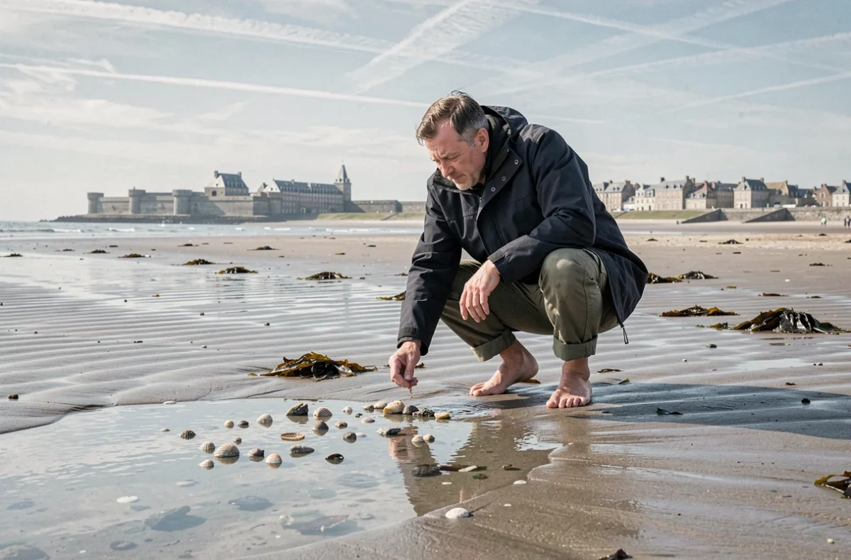
Saint-Vincent Cathedral, just a few steps from the castle, completes the heritage heart of Intra-Muros. You can visit the whole area in half a day, leaving the afternoon free for the beaches or islets (subject to tide times).
Saint-Malo’s port beyond its heritage: a working maritime hub
Reducing Saint-Malo’s port to its corsair past overlooks its economic role. The port also operates as an active maritime hub, welcoming leisure boaters and industry professionals throughout the year.
For visitors, this means a lively harbour, far removed from a static postcard scene. The quays are home to active shipyards, departures for the Channel Islands and ferry services to England. Watching port activity from Tour Bidouane on the ramparts offers a view that brings together the city’s fortified heritage and its modern port.
Saint-Malo’s coastline and tourist infrastructure: a delicate balance
The area around Saint-Malo is not all unspoilt scenery. Local debates raise questions about balancing tourism development with protecting the coastline.
This tension matters to visitors. It explains why some coastal paths are rerouted, why beach access points change from one season to the next, and why summer crowds can significantly alter the visitor experience.
- Visit the ramparts and islets early in the morning, when visitor numbers are still low
- Check the condition of coastal paths before planning a hike to Pointe du Grouin or Cancale
- Plan ahead for parking difficulties in peak season by using park-and-ride facilities and the bus network
Saint-Malo is best enjoyed by working around its constraints rather than ignoring them. Tide times determine access to the forts, the Rance tidal power plant cannot yet be crossed safely by bike, and development decisions are gradually changing the surrounding coastline. Planning around the tides and available transport options is the best way to enjoy the corsair city without any unpleasant surprises.